EN
EN  PT
PT ES
ES FR
FR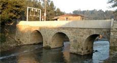
Pontes históricas
The River Leça, which runs through its entire length through the municipality of Matosinhos was, since antiquity crossed by important communication routes that connected Porto to the main centers of the Northwest Peninsular, namely Braga, Tuy and Santiago de Compostela. Since the Roman era, bridges have been built over the River Leça in order to facilitate the movement of people and goods on these roads. Source: https://www.cm-matosinhos.pt


.
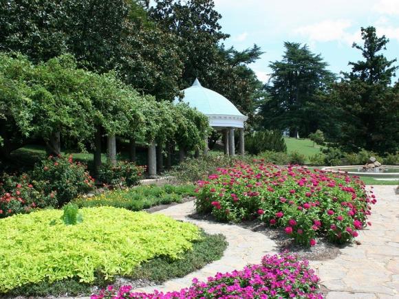
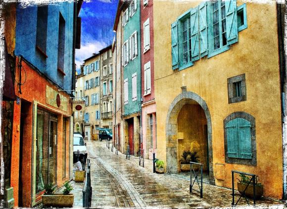
Matosinhos
Description
Ponte do Carro (Santa Cruz do Bispo / Guifões):
Trestle bridge with a round arch, built in very irregular granite masonry, presenting a constructive typology characteristic of the Middle Ages (12th - 13th centuries).
It is an interesting example of medieval public civil architecture classified as a Public Interest Building by Decree 516/71 of 22 November.
Ponte da Pedra (Leça do Balio):
Integrated on the Roman road that connected the city of Olisipo (now Lisbon) to the capital of the Callaecia region, the city of Bracara Augusta (Braga) passing through Cale (Porto), its construction dates back to the 2nd century AD It is a bridge with a flat deck built with a single round arch. Although it has undergone several repairs and reconstructions over the centuries, it is still visible, in its lower part, several “cushioned stones” characteristic of Roman architecture.
Ronfes Bridge (Leça do Balio):
This bridge, built with three round arches, was part of a regional circulation route that is referred to in medieval documentation as the Karraria Antiqua and whose origin goes back to a secondary road from Roman times. This road came from Cedofeita, through Monte dos Burgos, going through Padrão da Légua, Gondivai and Araújo, to the Maia region.
D. Goimil Bridge (Custóias):
Trestle bridge with a pointed arch, built in irregular granite masonry, presenting a constructive typology characteristic of the Middle Ages (13th - 14th centuries). A road passed through this place, probably of Roman origin, with some regional importance. It appears referenced in medieval documentation as the Via Veteris or the Estrada Velha. It started next to the Douro River, in the Arrábida area and, coming from Couto between Lordelo and Cedofeita, it passed by the Cruise of Santiago de Custóias, crossed the river Leça in this place and from here it was driven by Pedras Rubras, Aveleda, Modivas and Vairão to the Ave River estuary. It is an interesting example of medieval public civil architecture classified as a Public Interest Building by Decree 516/71 of 22 November.
Guifões Bridge (Guifões):
This bridge, now disappeared, was located at the foot of Castro de Guifões, next to the estuary of the River Leça. It was built in regular granite masonry and composed of three round arches. It also had very characteristic granite guards, whose typology seems to fit it chronologically in the Middle Ages. However, its foundation can go back to Roman times, integrating itself on the coastal route that “per loca maritima” connected to the Ave estuary and Vila do Conde, passing by the Roman villa of Lavra. This bridge collapsed during a flood on the Leça River in 1979.
Source: https://www.cm-matosinhos.pt


Comments
There are no comments!
Partners same locality