EN
EN  PT
PT ES
ES FR
FR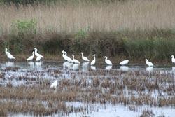
Percurso de Salreu
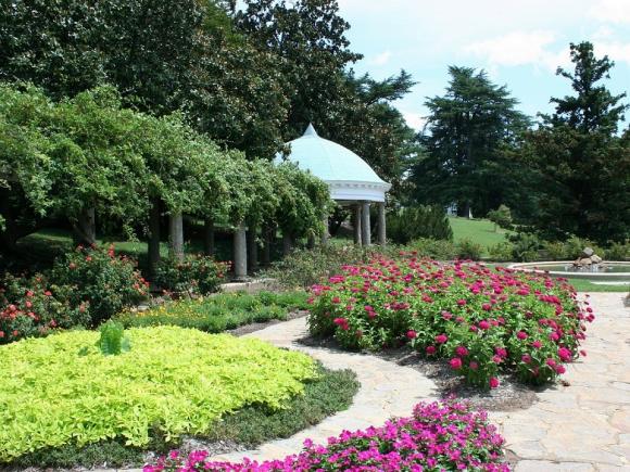
Salreu's route is circular in nature, starting and ending at the BioRia Environmental Interpretation Center. It is an 8 km route, which crosses areas of enormous scenic beauty, such as rice fields, marshes, reeds and reeds.
Salreu
Estarreja
Description
The presence of the Rio Antuã and Esteiro de Salreu, connected by a network of ditches, allows communication between all habitats, justifying the high levels of biodiversity that exist.
* Distance to cover: About 8 Km
* Duration of the route: Approximately two and a half hours
* Scope of the route: Environmental, landscape, cultural and sport
* Degree of difficulty: Easy (no unevenness)
* Recommended season: All year
* GPS coordinates: [GPS 40º43’56 ’’ N | 8º34’07’’W]
Source: https://www.cm-estarreja.pt/